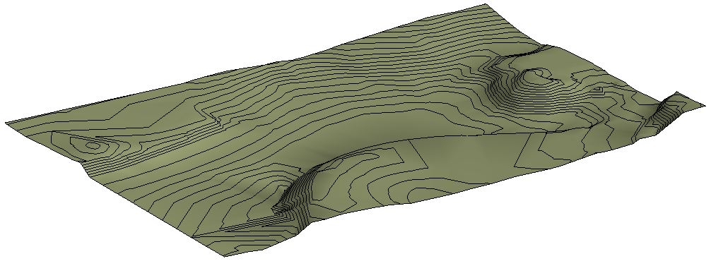
In the construction industry, the term "topography" refers to the natural surface of the earth and the surface altered for a construction project, excluding any objects, buildings, or bodies of water located on it.
This tutorial describes the various steps involved in creating a topographic model in Revit and subsequently modifying it for construction management.
In particular, this section addresses the issue of Revit’s limited capabilities for creating sloped cut-and-fill slopes and excavating basements, including possible solutions to these challenges.

Unfortunately, this content is available only to our Pro users.
If you'd like to read the full article, try the Pro account or become a Pro user.